Example: Power BI Report
Back to overview
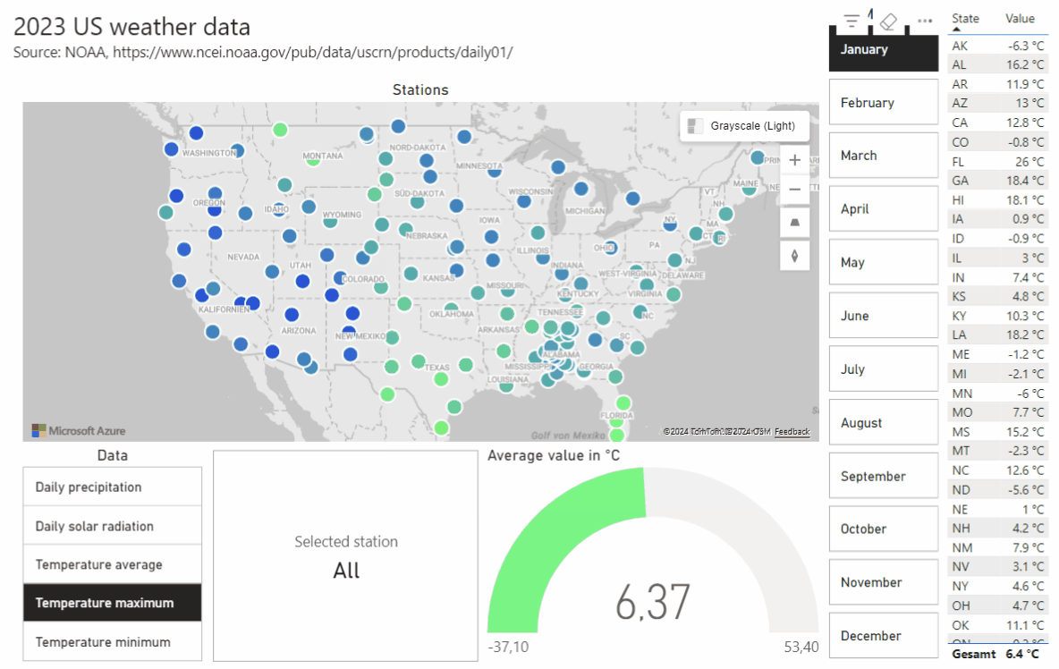
This is an example of a Power BI report. It was created to explore the current potential (and limitations) of geocoding and visualisation in Power BI using Azure Maps. The map shows meteorological data provided by the National Oceanic and Atmospheric Administration. The dynamic view is reproduced here as animated images.
Data source: https://www.ncei.noaa.gov/pub/data/uscrn/products/daily01/
Contact Email: info@phoenitium.de Phone: +49 761 2854 8428